


Illusion of connectedness
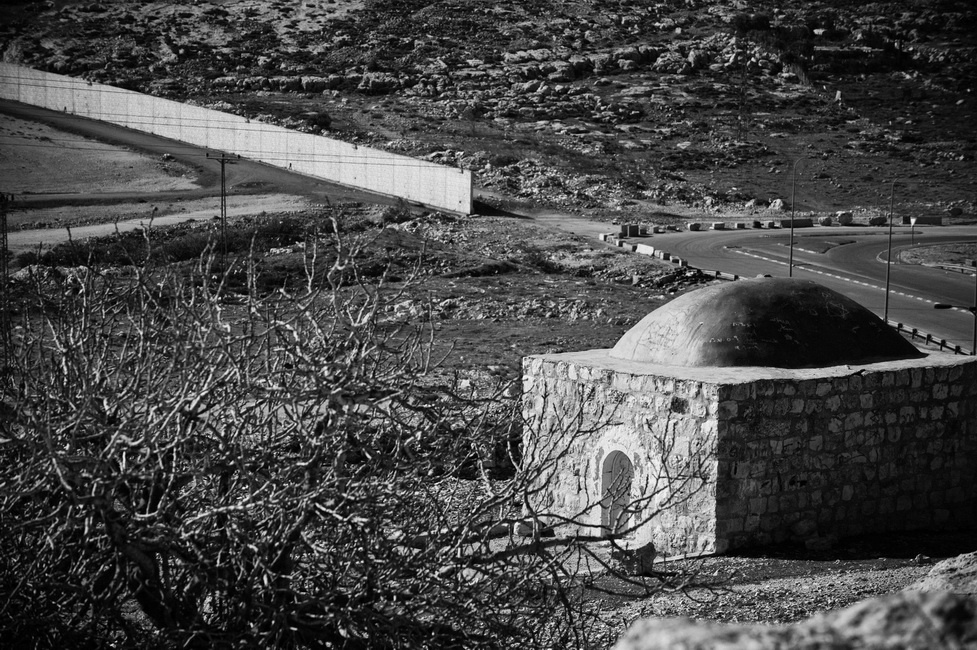
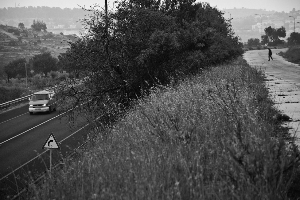
"route 60" is the main artery of West Bank. Following an ancient path along the hilly region’s watershed, countless of nomads, pilgrims, merchants, refugees and armies have traveled upon it throughout history. Yet, while route 60 connects past and present, it also hides historical truths and present realities. Creating an illusion of connectedness, progress and mobility, the road separates worlds that exist side by side. When these worlds do meet, it often occurs under tragic circumstances
Wandering Jew
“...I started the photographic project of Route 60 some years ago with a quest of finding the root cause of this conflict. However, the project became my search for personal and national redemption amidst the impossible realities of violence, beauty and paths not taken...”
Terra Nullius
This historical path runs through the hills of 'Judea and Samaria' area, from the ancient times of Abraham. Mentioned in the Old Testament it is called "The Way of the Patriarchs” and Biblical Patriarchs had walked it. It follows along the central watersheds from Beer-Sheba to Nazareth.Biblical Judea and Samaria, known today to the world by the term 'West Bank'. During 1948 Arab-Israeli War, it was occupied by Transjordan (Jordan after the war) with following annexation. In 1967, during the Six-Day War, West Bank was seized by Israel from Jordan. Although, the territory was not annexed by Israel. In 1988 Jordan officially relinquish its claim to the area.Till today it's has remaining 'terra nullius' under Israeli military control
The ABC of Conflict
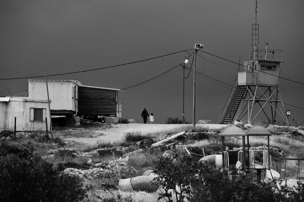
This project stresses the absurd consequences of "Peace Process", which has led to a deadlock for twenty years. As a result of Oslo interim accords, the area was divided into three administrative sections: A, B and C . On the map it's looks like Quilt of “A,B,C patches”. In the field you never know where you are. The Israeli Army has fortified various sections with anti-sniper walls and had established checkpoints along the route. Detours around Palestinian villages were built by Israel to reduce fractions and violence. This caused even more fracture in the mobility between various parts of the road.
Forgetting the future.
The visual facts along the road concluded the fiction of both Ideas - Palestinian Authority and Israel.
Along the visible and invisible sideways of the road, I tried to understand the role of the past in the present and the sad absurdity of forgetting the future.
The mission of this project became to capture the Absurd, to counter the "bubble" realities in which my heroes live. Locked in the world of their truth, my protagonists reflect nostalgia of high Ideas, which deny real circumstances. The Idea of possible compromise exists in the realm of Logic but dwells as Utopia in the uncompromising reality.
As I wonder through route 60 metaphor, witnessing the jealous love to this Holly Land. I absorb that any solution would require painful re-rendering of "utopia" on both sides.