Biography:
Two of my great passions in life are travel and photography. I believe that travel broadens one's view of the world. Starting out as a wedding photographer in 2006, my travels to many parts of Uganda to photograph traditional weddings, made me...
MORE
The picture was taken in September 2021 in the north of Kampala. Local residents attribute flooding to the construction of a new mall on Gayaza Road and the new city bypass, as well as increased periods of heavy rainfall and its impact on the city’s drainage.
A bridge over Nakivubo Channel at Kyagwe Road. A series of freshly cleaned shoes are displayed for sale along one of the few barriers protecting pedestrians from falling into the Channel.
A man in a red hat walks along the Channel. After a short period of rain, the water level has visibly risen and the water is moving rapidly. At this moment, no one can afford to rest under the bridge lest the water drowns them.
Flooding plays havoc with Kampala’s public transport and causes a lot of traffic at flooding points as well as costs of Boda Boda's (motorcycle taxis) to rise.
PLAY
STOP
GRID
FULL
Close
Private Story
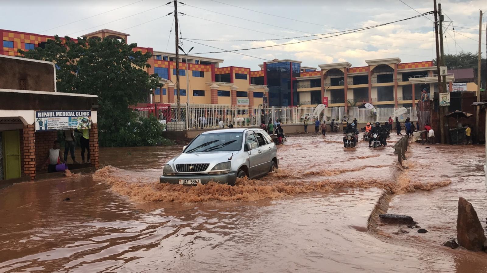
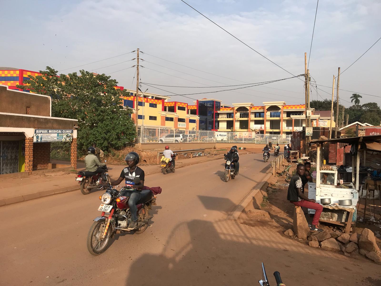
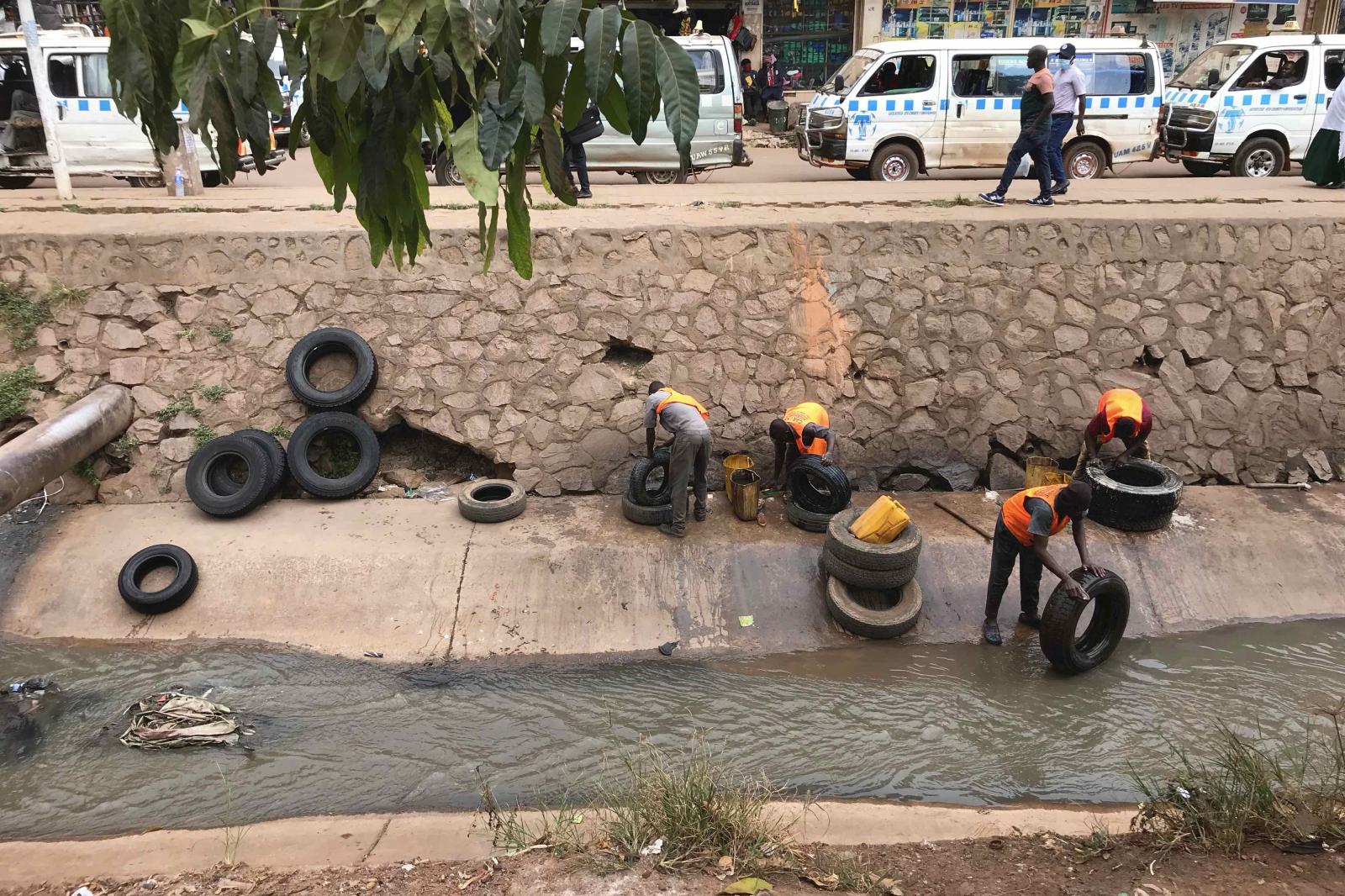
Life in a Flood Zone: Kampala's Nakivubo Channel
Copyright
Jim Joel Nyakaana
2024
Updated Feb 2022
Summary
Flooding as a climate risk facing Uganda, a case study of Nakivubo Channel
Flooding is the greatest climate risk facing Uganda. At least 50,000 people are directly impacted by flooding every year - the aftermath of which includes displacement, destruction of property, endangered economic activity, poor physical and mental health, and loss of life. Erratic rainfall and its consequences have significant implications for the people and built environments of the country's low-lying capital, Kampala, much of which was built on former wetlands at the base of the city's seven hills. The photo project features Nakivubo Channel, a tributary channel, and adjacent streets, the only drainage channel to run through the city’s central business areas, which is badly in need of improvement and expansion. During prolonged heavy rainfall, the Channel floods, hitting Kampala’s already marginalized urban residents hardest. During dry periods, however, the channel takes on different meanings and purposes, existing as a piece of transitory urban infrastructure that people can use to engage in informal economic jobs and traverse the city. Kampala looks and feels very different in the aftermath of heavy rains. The project displays the Channel at different points of the year, including flooding after heavy rainfall in September 2021, the hot and dry month of January 2022, and the beginning of the rainy season in February 2022, in advance of expected heavier rainfall in March. The project explores environmental injustices, the negotiation of rapidly shifting urban space, and the different ways in which people use, and adapt, their everyday lives in response to the ongoing global climate emergency and its consequences.