


PROJECT SUMMARY:
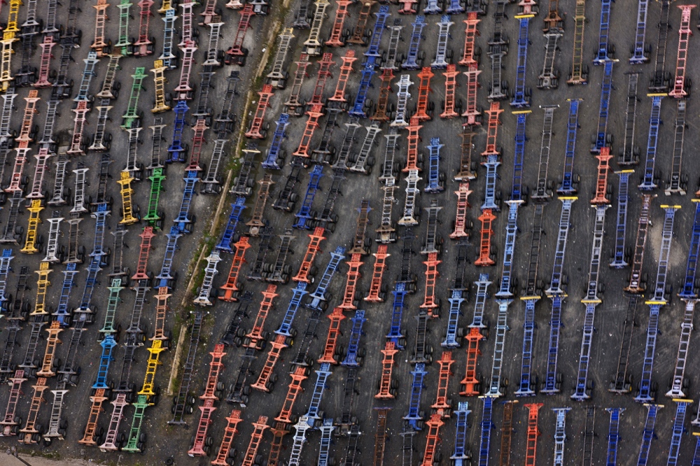
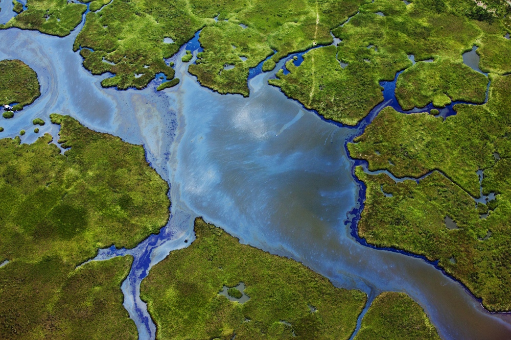
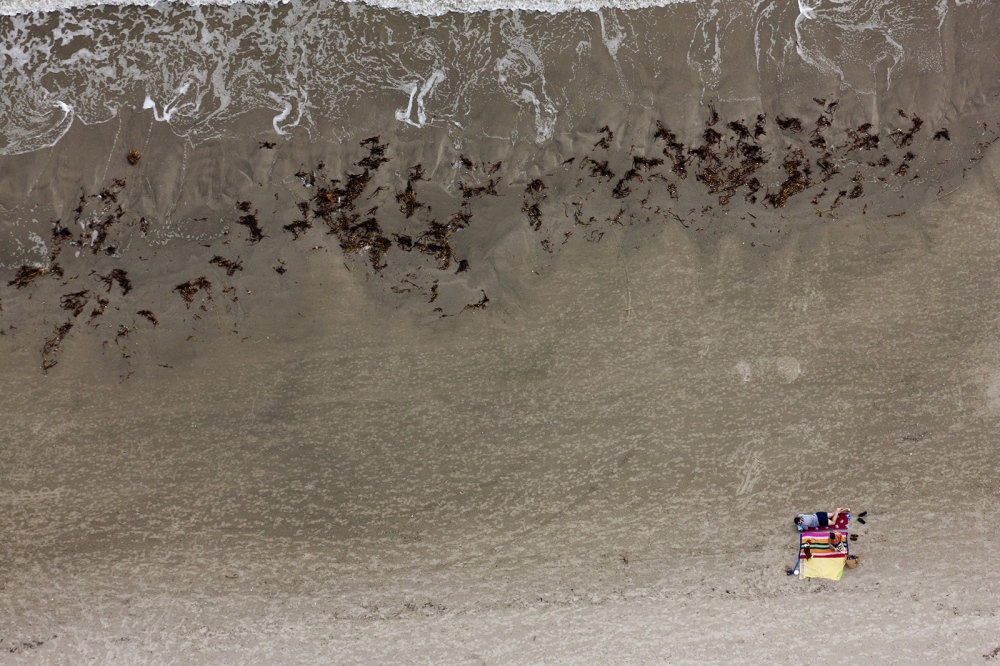
In "Before the Storm", I am making an aerial photographic documentation of the coasts of the United States to pay homage to these fragile ecosystems and show their vulnerabilities to climate change. My photographs are beautiful images of environmental issues, whether it be a toxic refinery, or a fragile wetland. My goal is to produce images that stimulate an aesthetic response, and thus open a dialog. This ongoing project has led me to photograph the Gulf Coast, parts of the Northeast and the Great Lakes and South Carolina.
PROJECT STATEMENT:
Background:
Comprising less than 10% of our land area, today coastal counties house 39% of our population, and are responsible for 45% of our GDP, a concentration that is projected to continue. As population density increases, putting greater demand on infrastructure, projected storm-related damage to those systems will require more repair and replacement.
Increasingly, the mineral resources found in the oceans are appreciating in value. Currently, petroleum is the ocean-borne resource in highest demand. It's hard to determine the exact amount of the oil we consume which comes from coastal regions "“ much of it is obtained, and even more refined there. Of greater concern, half of the oil used in the USA is refined on the Gulf of Mexico coast, one of the most storm-prone regions of the country. Hurricane Katrina forced 8 refineries to close, representing 10% of the US refining capacity, one of which went 235 days before it was fully operational again.
Climate change is predicted to increase storm activity, which will directly impact littoral areas. Natural shoreline features such as beaches, sand dunes, marshes and mangroves act as buffers to weather systems, pliably absorbing the impact of storms and thus protecting the hinterlands. Coastal development usually replaces these features with man-made structures that fare less well in storms and require expensive repair. Extreme weather events inflicted $110bn in damages in 2012, according to the Obama administration.
Ocean rise will also drastically affect coastal areas, forcing a variety of responses. However, due to the great scope and expense of these projects, and the lack of political agreement on the nature and extent of climate change and its impacts, many of these adaptations will inevitably be "too little and too late," ultimately resulting in the abandonment of low-lying areas adjacent to the water. In the aftermath of Hurricane Sandy, Mayor Bloomberg proposed a $20 billion initiative to protect New York City from catastrophic storm events using flood walls, levees, sand dunes and flood gates.
Coastal areas have already been severely impacted by climate change-related events. In spite of the inability of climate and weather science to correlate any one storm to climate change, it is generally accepted that Katrina and Sandy were both climate change-driven, and well known that their costs and effects were catastrophic. Inductive reasoning tells us these will only increase.
Project:
An important part of preparedness for change is knowing the current status: how are our coasts utilized? What essential infrastructure exists there? What natural systems must be allowed to adapt? What toxic sites must be remediated to prevent inundation and dissemination? Who lives there and where can they go? I am making an aerial photographic documentation of the coasts of the United States. The idea is to create a "portrait" of our littoral areas. Though it is impractical to photograph every meter and every structure, it is possible to document all major infrastructures and capture the essence of each section. This will entail tremendous research and subjective judgment at the moment of passage: which stream is more important, which island more fragile? What elements are characteristic of a place, and what are vital to its understanding?
My photographs are beautiful images of environmental issues, whether it be a toxic refinery, or a fragile wetland. Viewers are first enthralled by the image, then compelled to ask the question: "What is it?". My goal is to produce images that stimulate an aesthetic response, and thus open a dialog. If the pictures are not beautiful, the viewer will not stop to consider them, or cherish them.
My partners in the venture are the pilot groups LightHawk and SouthWings, and multiple environmental groups such as NRDC, and The Coastal Conservation League.